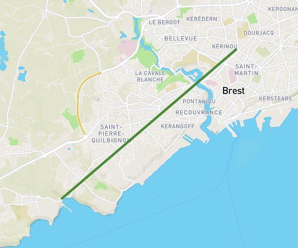
This running route covers 17.073mi starting from Saint-Urbain, Finistère. The run is a loop trail and returns to the trailhead. This run is rated as strenuous, expect about 4h3m to complete it. The route has an elevation gain of 180ft and an elevation loss of 135ft.
Trail La Mignonne 2025 - 28km
Route details
4.21mph
Speed
2778 kcal
Calories burned
Loop trail
Route type
240ft
Min altitude
420ft
Max altitude
Route profile
180ft
Elevation gain
135ft
Elevation loss
240ft
Min altitude
420ft
Max altitude
How to get there
Trailhead: 43 Résidence Rurale, 29800 Saint-Urbain, France
GPS coordinates of the trailhead: 48.40445, -4.23054 / 48°24'16'' N, 4°13'49'' W