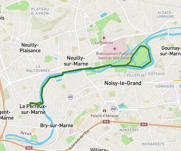
This running route covers 6.506mi starting from Limoges-Fourches, Seine-et-Marne. The run does not return to the trailhead and ends near 11 Place De L'église, 77550 Limoges-Fourches, France. This run is rated as moderate, expect about 1h12m to complete it. The route has an elevation gain of 13ft and an elevation loss of 10ft.
barneau
Route details
5.42mph
Speed
823 kcal
Calories burned
Point to point
Route type
295ft
Min altitude
308ft
Max altitude
Route profile
13ft
Elevation gain
10ft
Elevation loss
295ft
Min altitude
308ft
Max altitude
How to get there
Trailhead: 28 Route De Mauny, 77550 Limoges-Fourches, France
GPS coordinates of the trailhead: 48.626554, 2.661596 / 48°37'35'' N, 2°39'41'' E