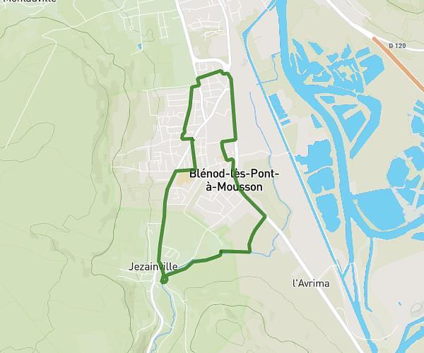
This hiking trail covers 1.699mi starting from Longeville-lès-Metz, Moselle. The hike does not return to the trailhead and ends near 18 Boulevard Saint-Symphorien, 57050 Longeville-lès-Metz, France. This hike is rated as easy, plan for about 36m to complete it. The route has an elevation gain of 128ft and an elevation loss of 112ft.
Pont verdun bateliers patinoire
Route details
2.83mph
Speed
258 kcal
Calories burned
2.7%
Avg grade
Point to point
Route type
528ft
Min altitude
554ft
Max altitude
Route profile
128ft
Elevation gain
112ft
Elevation loss
528ft
Min altitude
554ft
Max altitude
How to get there
Trailhead: Pont De Verdun, 57050 Longeville-lès-Metz, France
GPS coordinates of the trailhead: 49.117877, 6.147223 / 49°7'4'' N, 6°8'50'' E