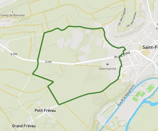
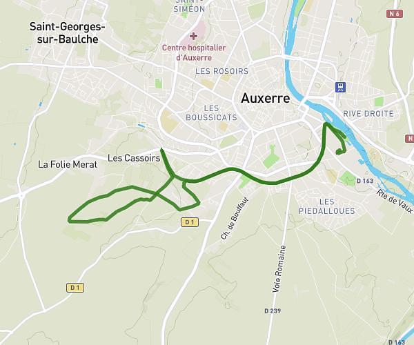
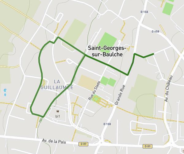
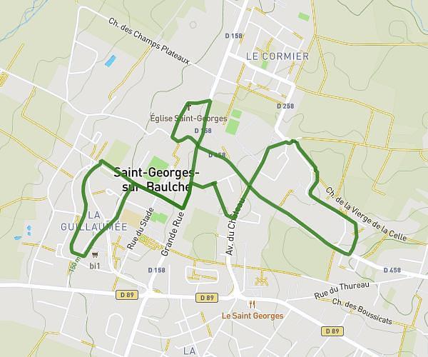
This running route covers 13.096mi starting from Monéteau, Yonne. The run is a loop trail and returns to the trailhead. This run is rated as easy, expect about 3h45m to complete it. The route has an elevation gain of 246ft and an elevation loss of 246ft.
SEMI 04-2025 alternative 3 3
Route details
3.48mph
Speed
2582 kcal
Calories burned
Loop trail
Route type
282ft
Min altitude
338ft
Max altitude
Route profile
246ft
Elevation gain
246ft
Elevation loss
282ft
Min altitude
338ft
Max altitude
How to get there
Trailhead: 12a Rue D'auxerre, 89470 Monéteau, France
GPS coordinates of the trailhead: 47.8486, 3.57883 / 47°50'54'' N, 3°34'43'' E