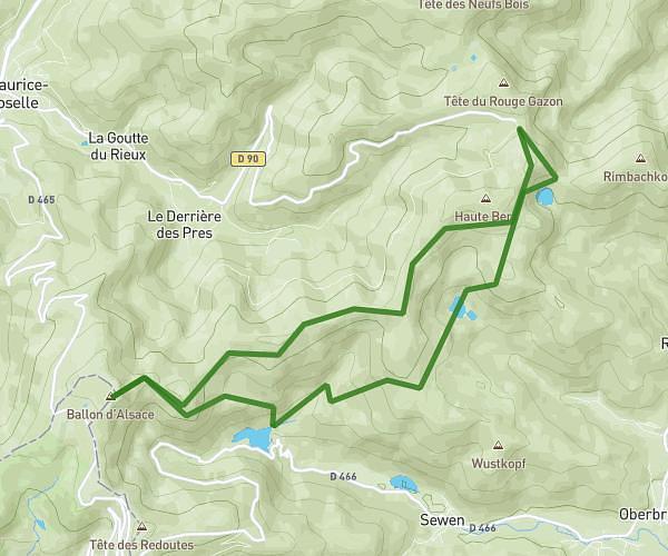
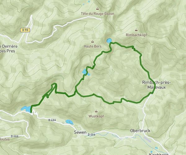
This hiking trail covers 4.54mi starting from La Bresse, Vosges. The hike is a loop trail and returns to the trailhead. This hike is rated as moderate, plan for about 1h51m to complete it. The route has an elevation gain of 902ft and an elevation loss of 909ft.
pont de metty lac lispach 7,3 km
Route details
2.45mph
Speed
826 kcal
Calories burned
7.6%
Avg grade
Loop trail
Route type
2726ft
Min altitude
3215ft
Max altitude
Route profile
902ft
Elevation gain
909ft
Elevation loss
2726ft
Min altitude
3215ft
Max altitude
How to get there
Trailhead: 21 Route De La Courbe, 88250 La Bresse, France
GPS coordinates of the trailhead: 48.035715, 6.925077 / 48°2'8'' N, 6°55'30'' E