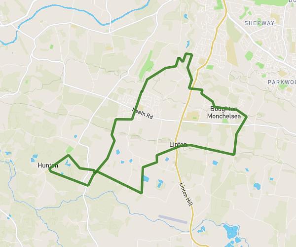
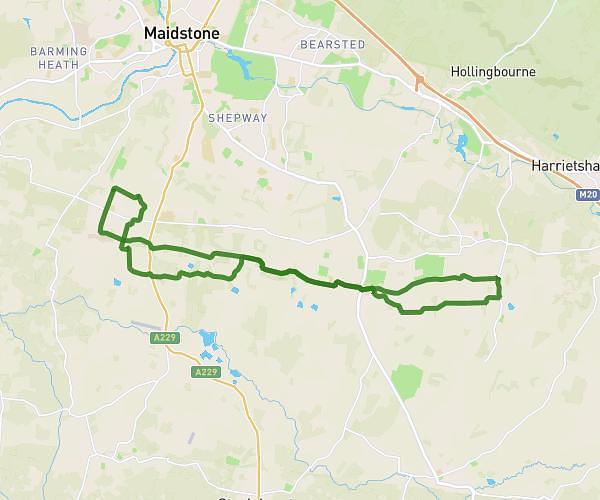
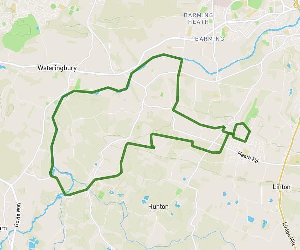
This walking route covers 12.413mi starting from Maidstone, England. The walk is a loop trail and returns to the trailhead. This walk is rated as strenuous, plan for about 4h26m to complete it. The route has an elevation gain of 656ft and an elevation loss of 656ft.
Week 8 long walk 4 hours
Route details
21:25/mi
Pace
1086 kcal
Calories burned
Loop trail
Route type
39ft
Min altitude
430ft
Max altitude
Route profile
656ft
Elevation gain
656ft
Elevation loss
39ft
Min altitude
430ft
Max altitude
How to get there
Trailhead: Stockett Lane, ME17 4PY Maidstone
GPS coordinates of the trailhead: 51.23745, 0.4975 / 51°14'14'' N, 0°29'51'' E