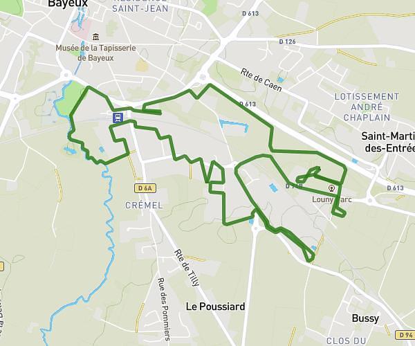
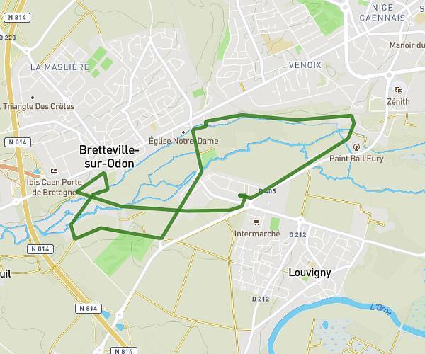
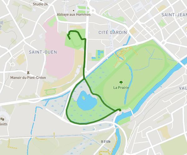
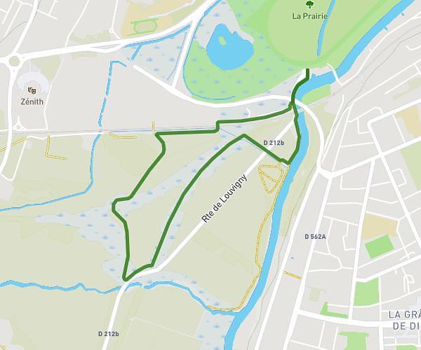
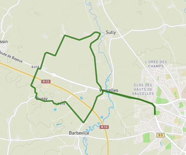
This running route covers 8.592mi starting from Ryes, Calvados. The run is a loop trail and returns to the trailhead. This run is rated as hard, expect about 1h22m to complete it. The route has an elevation gain of 118ft and an elevation loss of 128ft.
Parcours hebdomadaire
Route details
6.23mph
Speed
947 kcal
Calories burned
Loop trail
Route type
69ft
Min altitude
180ft
Max altitude
Route profile
118ft
Elevation gain
128ft
Elevation loss
69ft
Min altitude
180ft
Max altitude
How to get there
Trailhead: 20 Rue De La Mauffe, 14400 Ryes, France
GPS coordinates of the trailhead: 49.31233, -0.63069 / 49°18'44'' N, 0°37'50'' W