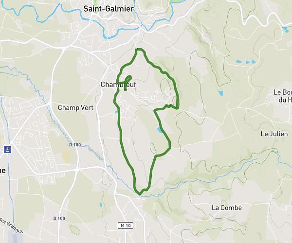
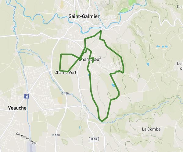
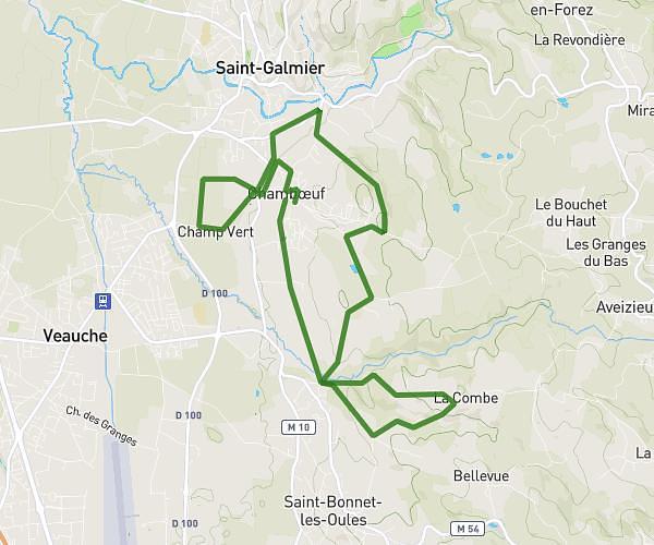
This running route covers 5.984mi starting from Fraisses, Loire. The run is a loop trail and returns to the trailhead. This run is rated as moderate, expect about 1h4m to complete it. The route has an elevation gain of 164ft and an elevation loss of 102ft.
Vers la Noirie
Route details
5.61mph
Speed
732 kcal
Calories burned
Loop trail
Route type
1434ft
Min altitude
1535ft
Max altitude
Route profile
164ft
Elevation gain
102ft
Elevation loss
1434ft
Min altitude
1535ft
Max altitude
How to get there
Trailhead: 31 Rue Gabriel Péri, 42490 Fraisses, France
GPS coordinates of the trailhead: 45.391463, 4.262804 / 45°23'29'' N, 4°15'46'' E