MapPlanner
13.145mi
Distance
1h52m
Duration
8:31/mi
Pace
Strenuous
Level

semi david

Route details

7.04mph
Speed
1281 kcal
Calories burned
Point to point
Route type
98ft
Min altitude
115ft
Max altitude

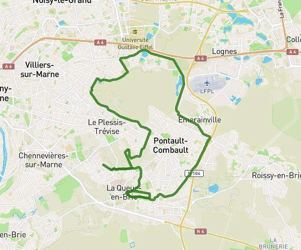
This running route covers 13.145mi starting from Alfortville, Val-de-Marne. The run does not return to the trailhead and ends near Quai Jean-Baptiste Clément, 94140 Alfortville. This run is rated as strenuous, expect about 1h52m to complete it. The route has an elevation gain of 16ft and an elevation loss of 20ft.

Description of the route by the creator

to run a half marathon

(Description automatically translated)

Route profile

16ft
Elevation gain
20ft
Elevation loss
98ft
Min altitude
115ft
Max altitude

How to get there

Trailhead: Avenue Du Général Leclerc, 94140 Alfortville

GPS coordinates of the trailhead: 48.79973, 2.41894 / 48°47'59'' N, 2°25'8'' E

Caution: May Cross Private Property

This route may pass through or near private property. Always respect posted signs, obtain permission where required, and follow local trespassing laws. MapPlanner does not guarantee public access along any route.

Safety Notice

Trail and road conditions may change without notice due to weather, construction, or other factors. Always verify current conditions before heading out. You are responsible for your own safety — follow local signage, obey traffic laws, and use your best judgment on the trail.