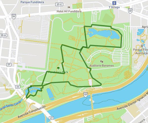
This running route covers 2.465mi starting from Monterrey, Nuevo León. The run is a loop trail and returns to the trailhead. This run is rated as easy, expect about 26m to complete it. The route has an elevation gain of 246ft and an elevation loss of 249ft.
Mini Blackyard OP2
Route details
5.69mph
Speed
297 kcal
Calories burned
Loop trail
Route type
1673ft
Min altitude
1732ft
Max altitude
Route profile
246ft
Elevation gain
249ft
Elevation loss
1673ft
Min altitude
1732ft
Max altitude
How to get there
Trailhead: Avenida Constitución, 64590 Monterrey, Nuevo León, Mexico
GPS coordinates of the trailhead: 25.6752, -100.282055 / 25°40'30'' N, 100°16'55'' W