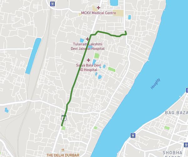
This running route covers 1.691mi starting from Howrah, West Bengal. The run does not return to the trailhead and ends near Girish Ghosh Road Ghusuri 139، 711107 Howrah، India. This run is rated as easy, expect about 15m22s to complete it. The route has an elevation gain of 102ft and an elevation loss of 102ft.
Pw test
Route details
6.6mph
Speed
176 kcal
Calories burned
Point to point
Route type
16ft
Min altitude
43ft
Max altitude
Route profile
102ft
Elevation gain
102ft
Elevation loss
16ft
Min altitude
43ft
Max altitude
How to get there
Trailhead: Grand Trunk Road 353، 711106 Howrah، India
GPS coordinates of the trailhead: 22.599305, 88.341223 / 22°35'57'' N, 88°20'28'' E