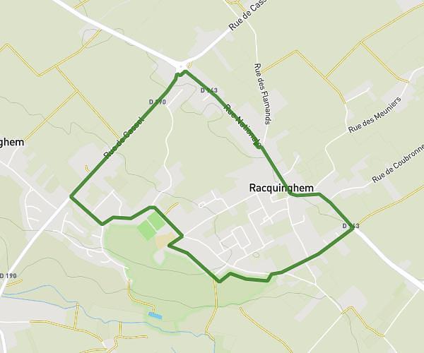
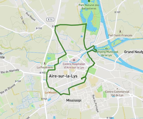
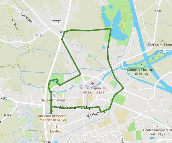
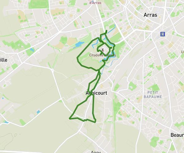
This walking route covers 4.553mi starting from Aire-sur-la-Lys, Pas-de-Calais. The walk is a loop trail and returns to the trailhead. This walk is rated as moderate, plan for about 1h38m to complete it. The route has an elevation gain of 246ft and an elevation loss of 246ft.
defit balastiere
Route details
21:30/mi
Pace
400 kcal
Calories burned
Loop trail
Route type
49ft
Min altitude
102ft
Max altitude
Route profile
246ft
Elevation gain
246ft
Elevation loss
49ft
Min altitude
102ft
Max altitude
How to get there
Trailhead: Rue De Constantinople, 62120 Aire-sur-la-Lys
GPS coordinates of the trailhead: 50.63802, 2.41247 / 50°38'16'' N, 2°24'44'' E