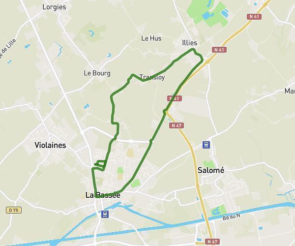
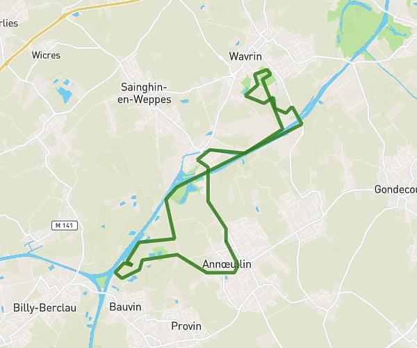
This running route covers 10.058mi starting from Saint-Jans-Cappel, Nord. The run is a loop trail and returns to the trailhead. This run is rated as hard, expect about 2h to complete it. The route has an elevation gain of 299ft and an elevation loss of 367ft.
Trail st Jans
Route details
5.03mph
Speed
1372 kcal
Calories burned
Loop trail
Route type
46ft
Min altitude
394ft
Max altitude
Route profile
299ft
Elevation gain
367ft
Elevation loss
46ft
Min altitude
394ft
Max altitude
How to get there
Trailhead: Rue De La Blanchisserie, 59270 Saint-Jans-Cappel
GPS coordinates of the trailhead: 50.76411, 2.72162 / 50°45'50'' N, 2°43'17'' E