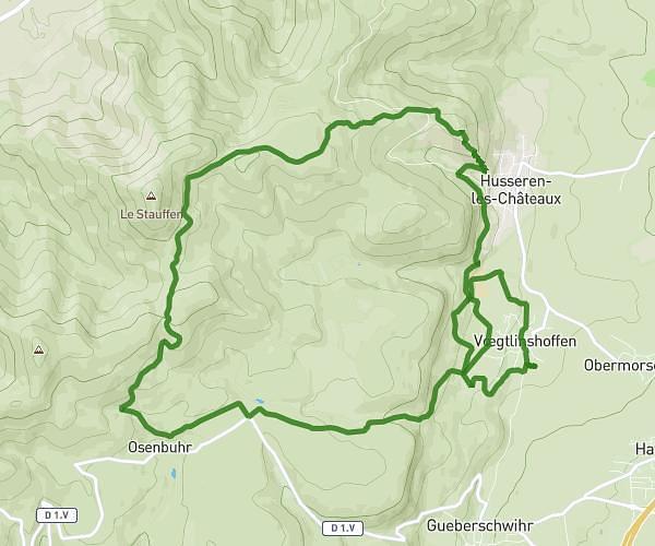
This running route covers 9.975mi starting from Ammerschwihr, Haut-Rhin. The run is a loop trail and returns to the trailhead. This run is rated as hard, expect about 1h45m to complete it. The route has an elevation gain of 951ft and an elevation loss of 951ft.
1ere sortie prepa 10km
Route details
5.7mph
Speed
1201 kcal
Calories burned
Loop trail
Route type
646ft
Min altitude
978ft
Max altitude
Route profile
951ft
Elevation gain
951ft
Elevation loss
646ft
Min altitude
978ft
Max altitude
How to get there
Trailhead: 4 Impasse Afterseeden, 68770 Ammerschwihr, France
GPS coordinates of the trailhead: 48.125495, 7.279489 / 48°7'31'' N, 7°16'46'' E