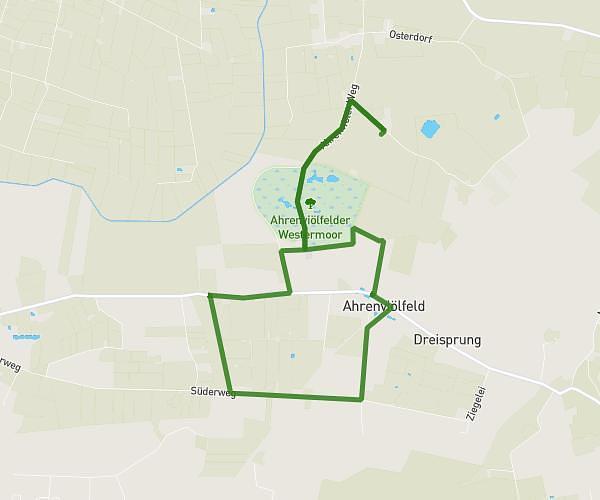
This running route covers 7.25mi starting from Bondelum, Schleswig-Holstein. The run is a loop trail and returns to the trailhead. This run is rated as moderate, expect about 1h18m to complete it. The route has an elevation gain of 223ft and an elevation loss of 226ft.
Erholungsbloom Runde
Route details
5.58mph
Speed
892 kcal
Calories burned
Loop trail
Route type
13ft
Min altitude
69ft
Max altitude
Route profile
223ft
Elevation gain
226ft
Elevation loss
13ft
Min altitude
69ft
Max altitude
How to get there
Trailhead: Bondelumermoor 3, 25850 Bondelum, Germany
GPS coordinates of the trailhead: 54.54884, 9.27572 / 54°32'55'' N, 9°16'32'' E