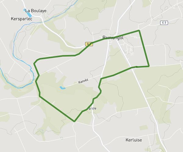
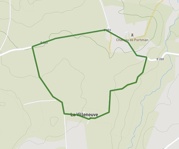
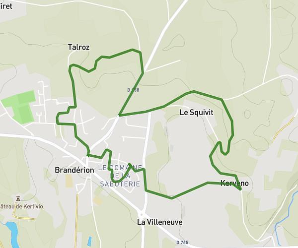
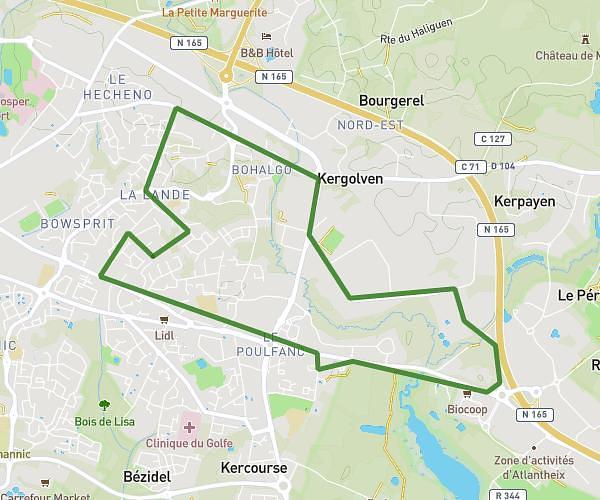
This running route covers 5.851mi starting from Moréac, Morbihan. The run does not return to the trailhead and ends near 12 Rue Ernest Renan, 56500 Locminé, France. This run is rated as moderate, expect about 58m30s to complete it. The route has an elevation gain of 318ft and an elevation loss of 394ft.
MFR-Gaillard-Garderie
Route details
6.0mph
Speed
669 kcal
Calories burned
Point to point
Route type
266ft
Min altitude
430ft
Max altitude
Route profile
318ft
Elevation gain
394ft
Elevation loss
266ft
Min altitude
430ft
Max altitude
How to get there
Trailhead: 92 Chemin De L’Étang, 56500 Moréac, France
GPS coordinates of the trailhead: 47.89484, -2.82618 / 47°53'41'' N, 2°49'34'' W