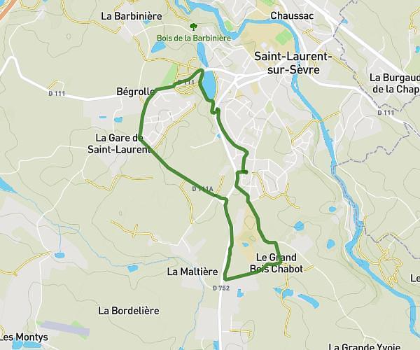
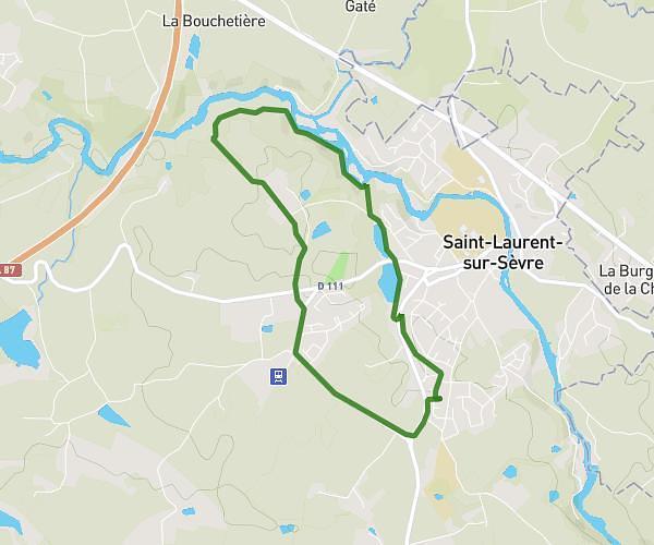
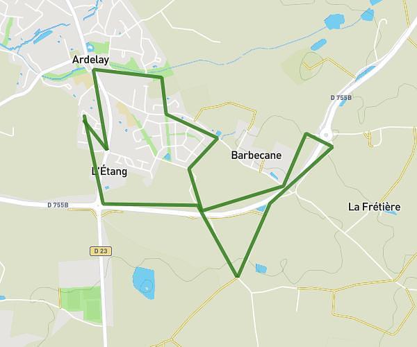
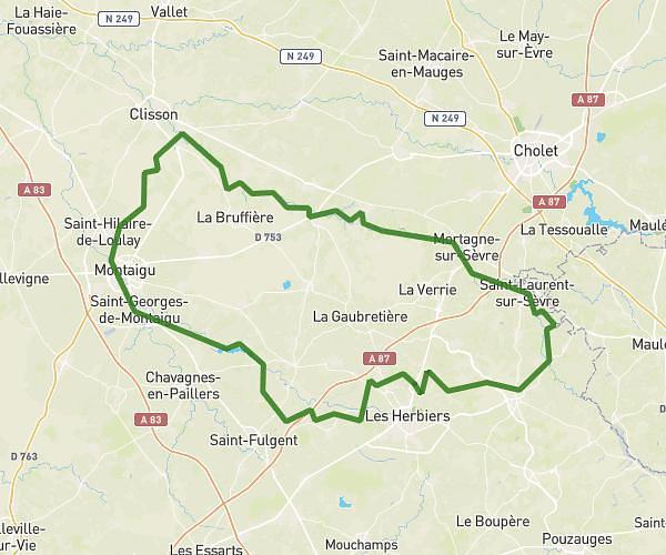
This running route covers 7.109mi starting from Montournais, Vendée. The run is a loop trail and returns to the trailhead. This run is rated as moderate, expect about 1h16m to complete it. The route has an elevation gain of 561ft and an elevation loss of 558ft.
MONTOURNAIS
Route details
5.61mph
Speed
869 kcal
Calories burned
Loop trail
Route type
509ft
Min altitude
719ft
Max altitude
Route profile
561ft
Elevation gain
558ft
Elevation loss
509ft
Min altitude
719ft
Max altitude
How to get there
Trailhead: D 8, 85700 Montournais, France
GPS coordinates of the trailhead: 46.750646, -0.758546 / 46°45'2'' N, 0°45'30'' W