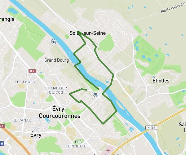
This running route covers 2.741mi starting from Saint-Pierre-du-Perray, Essonne. The run does not return to the trailhead and ends near 110 Rue Du Grand Maury, 91280 Saint-Pierre-du-Perray, France. This run is rated as easy, expect about 30m to complete it. The route has an elevation gain of 43ft and an elevation loss of 49ft.
EasyRun
Route details
5.48mph
Speed
343 kcal
Calories burned
Point to point
Route type
276ft
Min altitude
305ft
Max altitude
Route profile
43ft
Elevation gain
49ft
Elevation loss
276ft
Min altitude
305ft
Max altitude
How to get there
Trailhead: 164 Rue Du Grand Maury, 91280 Saint-Pierre-du-Perray, France
GPS coordinates of the trailhead: 48.61863, 2.51538 / 48°37'7'' N, 2°30'55'' E