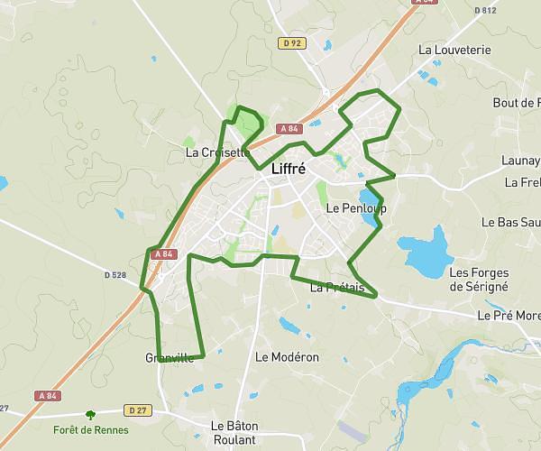
This running route covers 2.987mi starting from Bourgbarré, Ille-et-Vilaine. The run does not return to the trailhead and ends near Rue Des Bosquets, 35230 Bourgbarré. This run is rated as easy, expect about 25m to complete it. The route has an elevation gain of 230ft and an elevation loss of 292ft.
Etang et chevaux avec Lylwenn et Leila
Route details
7.17mph
Speed
286 kcal
Calories burned
Point to point
Route type
92ft
Min altitude
187ft
Max altitude
Route profile
230ft
Elevation gain
292ft
Elevation loss
92ft
Min altitude
187ft
Max altitude
How to get there
Trailhead: Rue Georges Brassens, 35230 Bourgbarré
GPS coordinates of the trailhead: 47.9899, -1.61451 / 47°59'23'' N, 1°36'52'' W