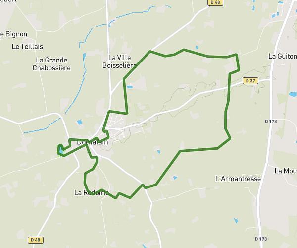
This running route covers 6.549mi starting from Bourgbarré, Ille-et-Vilaine. The run is a loop trail and returns to the trailhead. This run is rated as moderate, expect about 1h6m to complete it. The route has an elevation gain of 404ft and an elevation loss of 400ft.
Ptit étang et grande campagne
Route details
5.95mph
Speed
755 kcal
Calories burned
Loop trail
Route type
89ft
Min altitude
184ft
Max altitude
Route profile
404ft
Elevation gain
400ft
Elevation loss
89ft
Min altitude
184ft
Max altitude
How to get there
Trailhead: Rue Georges Brassens, 35230 Bourgbarré
GPS coordinates of the trailhead: 47.99012, -1.61361 / 47°59'24'' N, 1°36'48'' W