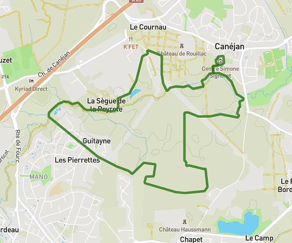
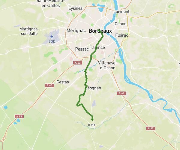
This hiking trail covers 12.993mi starting from Gradignan, Gironde. The hike is a loop trail and returns to the trailhead. This hike is rated as moderate, plan for about 4h25m to complete it. The route has an elevation gain of 374ft and an elevation loss of 390ft.
parcours des graves
Route details
2.94mph
Speed
1872 kcal
Calories burned
1.1%
Avg grade
Loop trail
Route type
75ft
Min altitude
190ft
Max altitude
Route profile
374ft
Elevation gain
390ft
Elevation loss
75ft
Min altitude
190ft
Max altitude
How to get there
Trailhead: 238 Cours Du Général De Gaulle, 33170 Gradignan, France
GPS coordinates of the trailhead: 44.761147, -0.621923 / 44°45'40'' N, 0°37'18'' W