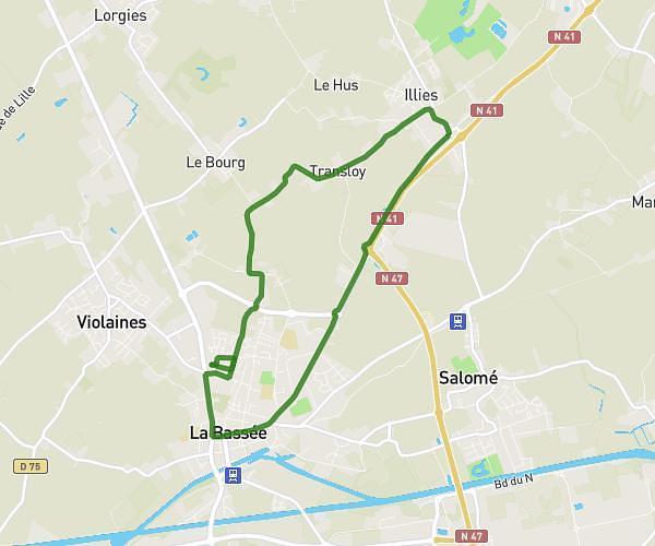
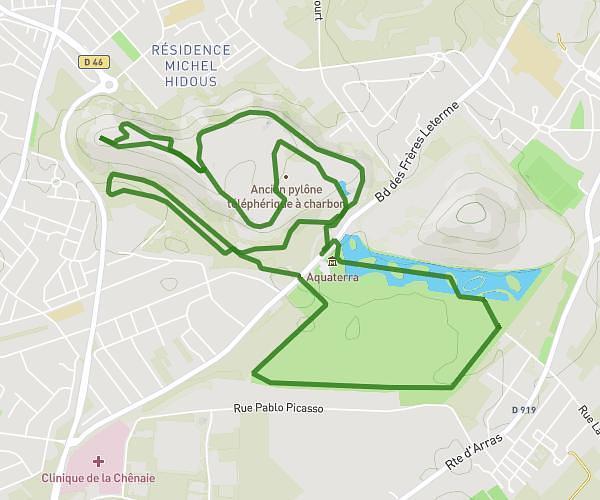
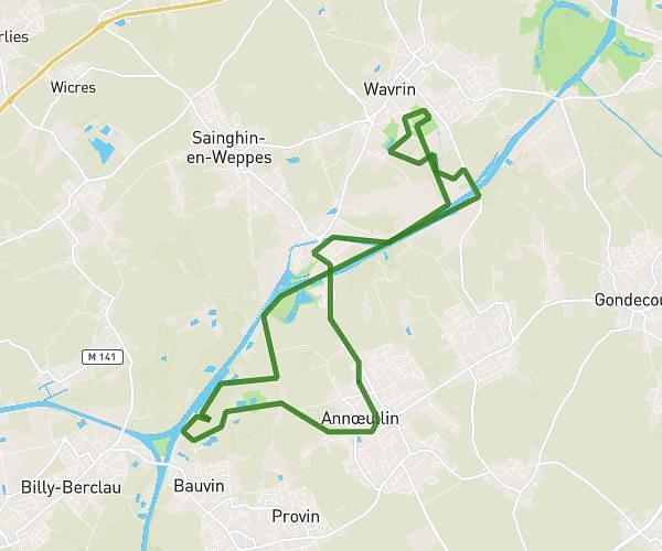
This running route covers 4.758mi starting from Avion, Pas-de-Calais. The run is a loop trail and returns to the trailhead. This run is rated as easy, expect about 41m to complete it. The route has an elevation gain of 259ft and an elevation loss of 259ft.
Course du Jeudi 15 Janvier 2026
Route details
6.97mph
Speed
469 kcal
Calories burned
Loop trail
Route type
85ft
Min altitude
174ft
Max altitude
Route profile
259ft
Elevation gain
259ft
Elevation loss
85ft
Min altitude
174ft
Max altitude
How to get there
Trailhead: 60 Rue Du Maréchal Lyautey, 62210 Avion, France
GPS coordinates of the trailhead: 50.411477, 2.808667 / 50°24'41'' N, 2°48'31'' E