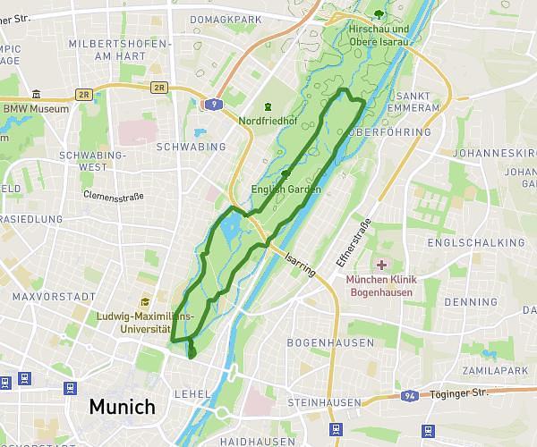
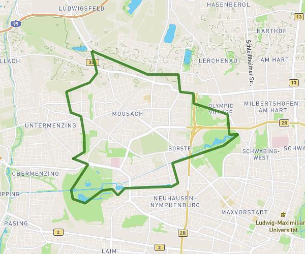
This running route covers 6.48mi starting from München, Bavaria. The run is a loop trail and returns to the trailhead. This run is rated as moderate, expect about 1h40m to complete it. The route has an elevation gain of 13ft and an elevation loss of 30ft.
TestOlympiapark
Route details
3.89mph
Speed
1143 kcal
Calories burned
Loop trail
Route type
1670ft
Min altitude
1699ft
Max altitude
Route profile
13ft
Elevation gain
30ft
Elevation loss
1670ft
Min altitude
1699ft
Max altitude
How to get there
Trailhead: Spiridon-Louis-Ring, 80809 München, Germany
GPS coordinates of the trailhead: 48.17513, 11.548088 / 48°10'30'' N, 11°32'53'' E