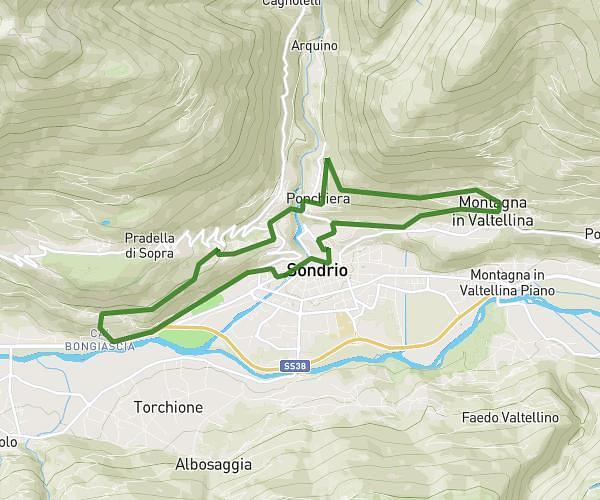
This running route covers 3.195mi starting from Ardenno, Sondrio. The run does not return to the trailhead and ends near Via Roma, 23010 Ardenno Sondrio, Italy. This run is rated as easy, expect about 30m to complete it. The route has an elevation gain of 246ft and an elevation loss of 289ft.
Masino-Ardenno
Route details
6.39mph
Speed
343 kcal
Calories burned
Point to point
Route type
866ft
Min altitude
961ft
Max altitude
Route profile
246ft
Elevation gain
289ft
Elevation loss
866ft
Min altitude
961ft
Max altitude
How to get there
Trailhead: Via Roma 14, 23011 Ardenno Sondrio, Italy
GPS coordinates of the trailhead: 46.16459, 9.63738 / 46°9'52'' N, 9°38'14'' E