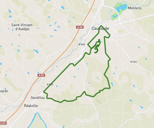
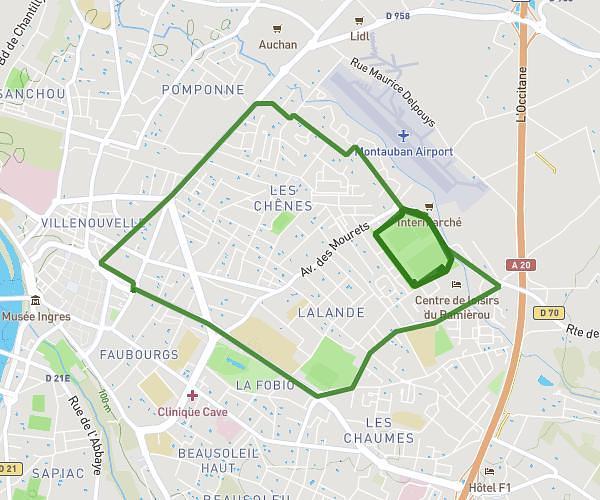
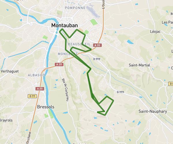
This running route covers 0.306mi starting from Nègrepelisse, Tarn-et-Garonne. The run is a loop trail and returns to the trailhead. This run is rated as easy, expect about 2h27m to complete it. The route has an elevation gain of 20ft and an elevation loss of 20ft.
PARCOURS ENFANTS 1KM ET 2KM
Route details
0.12mph
Speed
1688 kcal
Calories burned
Loop trail
Route type
322ft
Min altitude
341ft
Max altitude
Route profile
20ft
Elevation gain
20ft
Elevation loss
322ft
Min altitude
341ft
Max altitude
How to get there
Trailhead: Place Nationale, 82800 Nègrepelisse
GPS coordinates of the trailhead: 44.0758, 1.5218 / 44°4'32'' N, 1°31'18'' E