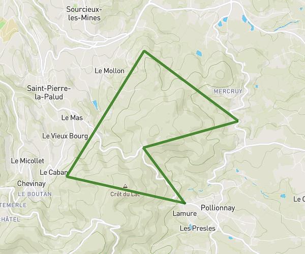
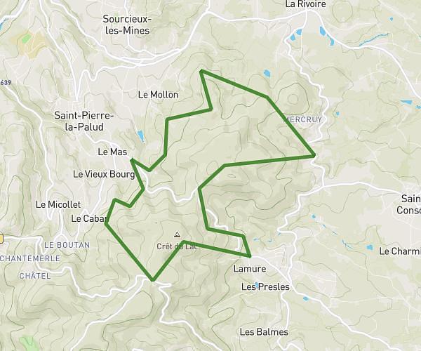
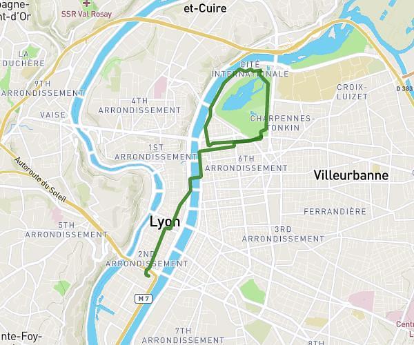
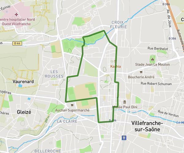
This running route covers 12.853mi starting from Sain-Bel, Rhône. The run does not return to the trailhead and ends near D 159, 69210 Savigny, France. This run is rated as strenuous, expect about 2h18m to complete it. The route has an elevation gain of 2638ft and an elevation loss of 2589ft.
cret d'arjoux : grosse monté -> jaques -> lamaton
Route details
5.59mph
Speed
1578 kcal
Calories burned
Point to point
Route type
869ft
Min altitude
2530ft
Max altitude
Route profile
2638ft
Elevation gain
2589ft
Elevation loss
869ft
Min altitude
2530ft
Max altitude
How to get there
Trailhead: 156 Impasse Des Prairies, 69210 Sain-Bel, France
GPS coordinates of the trailhead: 45.82268, 4.601312 / 45°49'21'' N, 4°36'4'' E