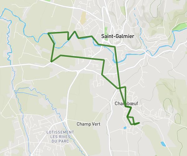
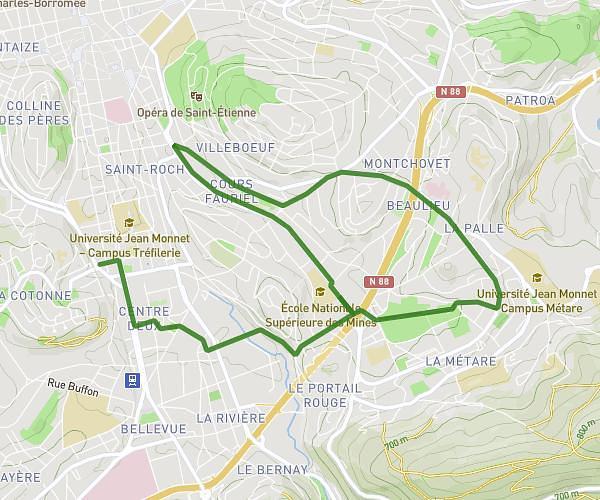
This running route covers 6.754mi starting from Saint-Étienne, Loire. The run does not return to the trailhead and ends near 11 Rue Du Violet, 42660 Saint-Genest-Malifaux, France. This run is rated as moderate, expect about 1h12m to complete it. The route has an elevation gain of 1909ft and an elevation loss of 420ft.
St Etienne - St Genest
Route details
5.63mph
Speed
823 kcal
Calories burned
Point to point
Route type
1890ft
Min altitude
3530ft
Max altitude
Route profile
1909ft
Elevation gain
420ft
Elevation loss
1890ft
Min altitude
3530ft
Max altitude
How to get there
Trailhead: 23 Rue Bonnassieux, 42100 Saint-Étienne, France
GPS coordinates of the trailhead: 45.413114, 4.400275 / 45°24'47'' N, 4°24'0'' E