MapPlanner
5.307mi
Distance
32m1s
Duration
9.95mph
Speed
+732ft
Elevation gain
-732ft
Elevation loss
Moderate
Level

1er juin CE2/CM n°2

Route details

290 kcal
Calories burned
5.2%
Avg grade
Loop trail
Route type
1004ft
Min altitude
1532ft
Max altitude
Steep climb

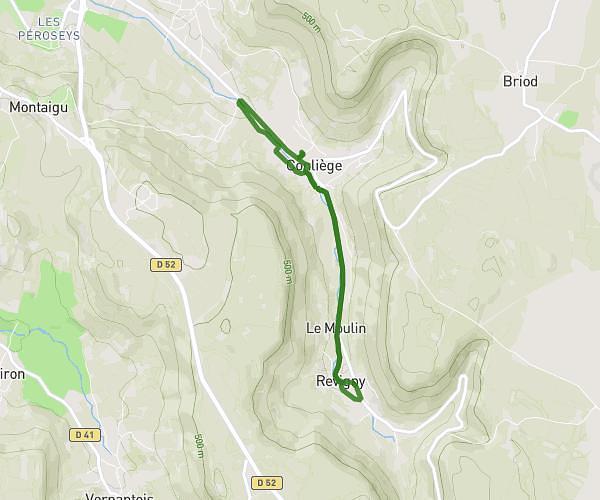
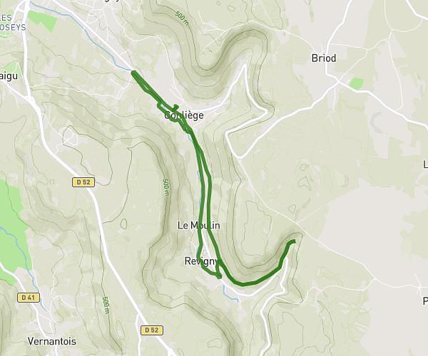
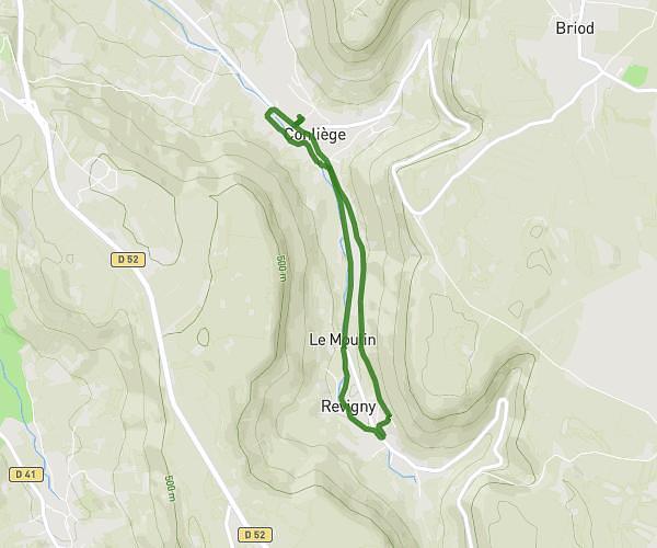
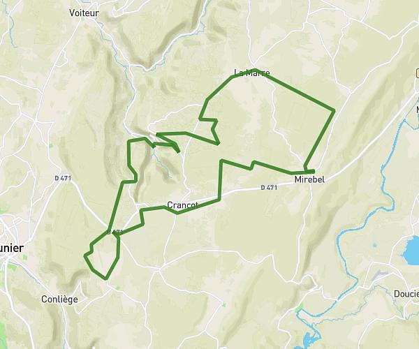
This cycling route covers 5.307mi starting from Conliège, Jura. The ride is a loop trail and returns to the trailhead. This route is rated as moderate, plan for about 32m1s to complete it. The route has an elevation gain of 732ft and an elevation loss of 732ft.

Route profile

732ft
Elevation gain
732ft
Elevation loss
1004ft
Min altitude
1532ft
Max altitude

How to get there

Trailhead: 1 Rue Des Écoles, 39570 Conliège, France

GPS coordinates of the trailhead: 46.655763, 5.597524 / 46°39'20'' N, 5°35'51'' E

Caution: May Cross Private Property

This route may pass through or near private property. Always respect posted signs, obtain permission where required, and follow local trespassing laws. MapPlanner does not guarantee public access along any route.

Safety Notice

Trail and road conditions may change without notice due to weather, construction, or other factors. Always verify current conditions before heading out. You are responsible for your own safety — follow local signage, obey traffic laws, and use your best judgment on the trail.