MapPlanner
9.06mi
Distance
1h27m
Duration
9:36/mi
Pace
Hard
Level

eporedia che corre

Route details

6.25mph
Speed
995 kcal
Calories burned
Loop trail
Route type
732ft
Min altitude
991ft
Max altitude

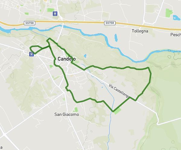
This running route covers 9.06mi starting from Ivrea, Turin. The run is a loop trail and returns to the trailhead. This run is rated as hard, expect about 1h27m to complete it. The route has an elevation gain of 259ft and an elevation loss of 148ft.

Route profile

259ft
Elevation gain
148ft
Elevation loss
732ft
Min altitude
991ft
Max altitude

How to get there

Trailhead: Via Palestro, 10015 Ivrea

GPS coordinates of the trailhead: 45.46725, 7.87851 / 45°28'2'' N, 7°52'42'' E

Caution: May Cross Private Property

This route may pass through or near private property. Always respect posted signs, obtain permission where required, and follow local trespassing laws. MapPlanner does not guarantee public access along any route.

Safety Notice

Trail and road conditions may change without notice due to weather, construction, or other factors. Always verify current conditions before heading out. You are responsible for your own safety — follow local signage, obey traffic laws, and use your best judgment on the trail.