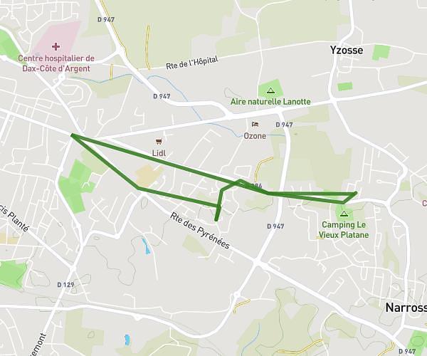
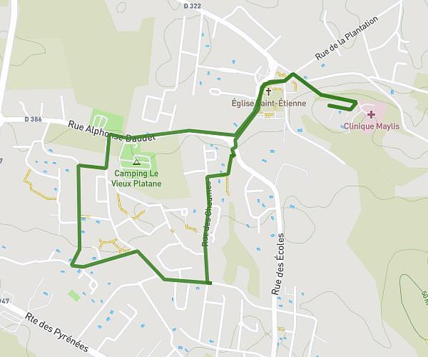
This running route covers 2.951mi starting from Josse, Landes. The run does not return to the trailhead and ends near 500 Route De La Croix Blanche, 40300 Pey, France. This run is rated as easy, expect about 36m to complete it. The route has an elevation gain of 177ft and an elevation loss of 161ft.
retour boulangerie
Route details
4.92mph
Speed
412 kcal
Calories burned
Point to point
Route type
16ft
Min altitude
128ft
Max altitude
Route profile
177ft
Elevation gain
161ft
Elevation loss
16ft
Min altitude
128ft
Max altitude
How to get there
Trailhead: 948 Route Du Agna, 40230 Josse, France
GPS coordinates of the trailhead: 43.64011, -1.2351 / 43°38'24'' N, 1°14'6'' W