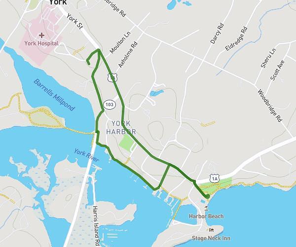
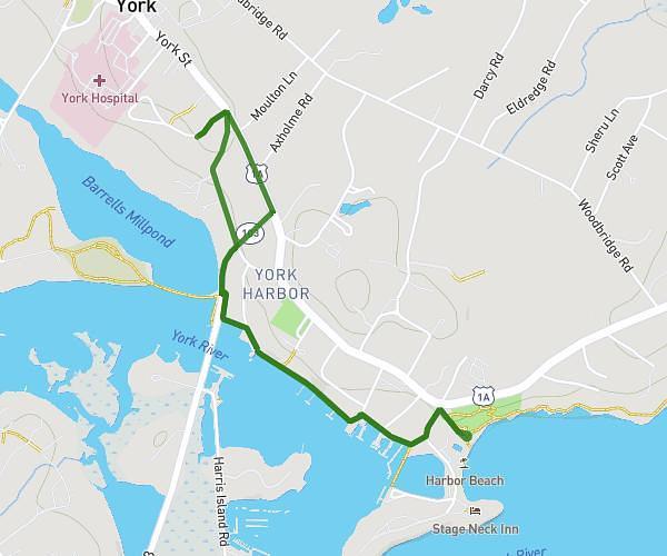
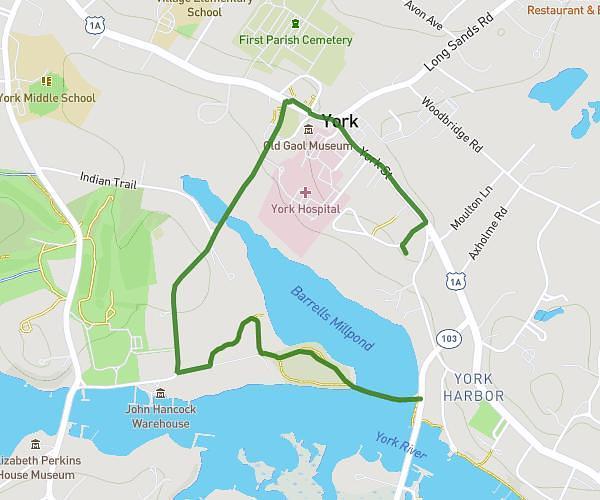
This running route covers 1.614mi starting from York, Maine. The run does not return to the trailhead and ends near 383 York Street, York, Maine 03911, United States. This run is rated as easy, expect about 17m to complete it. The route has an elevation gain of 151ft and an elevation loss of 223ft.
1.5ish miles w Camryn
Route details
0.0mph
Speed
194 kcal
Calories burned
Point to point
Route type
0ft
Min altitude
98ft
Max altitude
Route profile
151ft
Elevation gain
223ft
Elevation loss
0ft
Min altitude
98ft
Max altitude
How to get there
Trailhead: 10 Summit Lane, York, Maine 03909, United States
GPS coordinates of the trailhead: 43.140382, -70.648101 / 43°8'25'' N, 70°38'53'' W