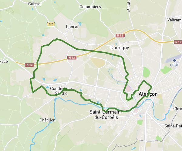
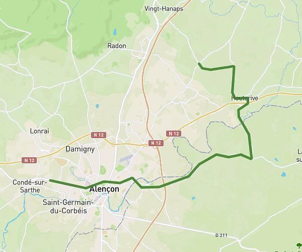
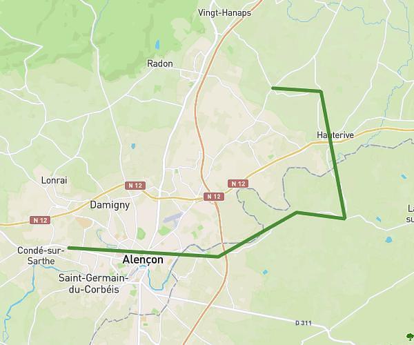
This running route covers 4.011mi starting from Alençon, Orne. The run does not return to the trailhead and ends near 80 Rue Du Chemin De Maures, 61000 Alençon, France. This run is rated as easy, expect about 43m to complete it. The route has an elevation gain of 59ft and an elevation loss of 43ft.
running
Route details
5.6mph
Speed
492 kcal
Calories burned
Point to point
Route type
476ft
Min altitude
535ft
Max altitude
Route profile
59ft
Elevation gain
43ft
Elevation loss
476ft
Min altitude
535ft
Max altitude
How to get there
Trailhead: 66 Boulevard Mézeray, 61000 Alençon, France
GPS coordinates of the trailhead: 48.438924, 0.082941 / 48°26'20'' N, 0°4'58'' E