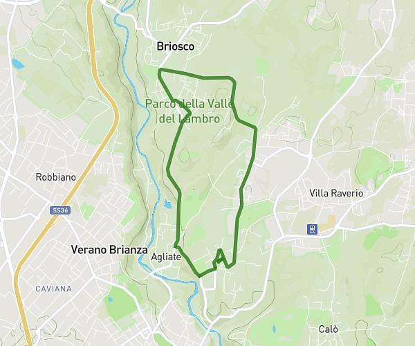
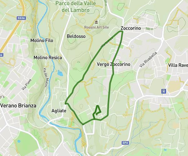
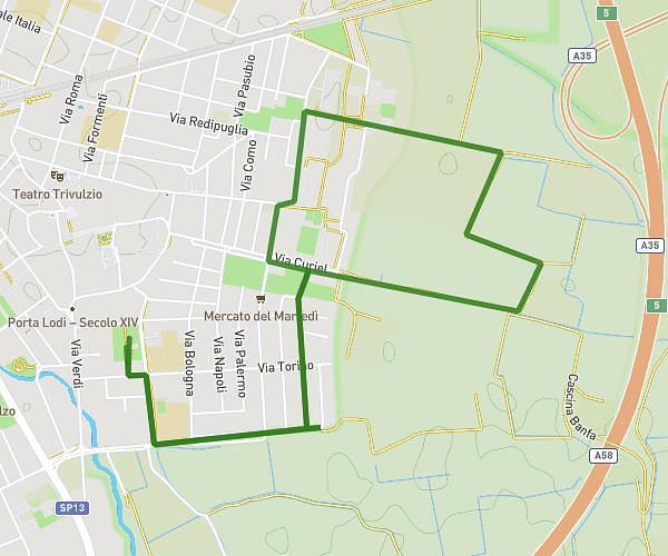
This running route covers 14.372mi starting from Paderno Dugnano, Milan. The run is a loop trail and returns to the trailhead. This run is rated as easy, expect about 2h53m to complete it. The route has an elevation gain of 56ft and an elevation loss of 56ft.
Preparazione 1/2
Route details
5.59mph
Speed
1983 kcal
Calories burned
Loop trail
Route type
479ft
Min altitude
535ft
Max altitude
Route profile
56ft
Elevation gain
56ft
Elevation loss
479ft
Min altitude
535ft
Max altitude
How to get there
Trailhead: Via Johann Sebastian Bach, 20037 Paderno Dugnano
GPS coordinates of the trailhead: 45.56762, 9.18539 / 45°34'3'' N, 9°11'7'' E