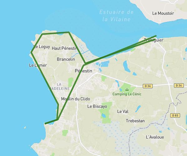
Explore this hiking route of 9.8km starting from Le Croisic, Loire-Atlantique. The hike does not return to the starting point and ends near 5 Rue De La Chapelle, 44510 Le Pouliguen, France. This hike has no defined difficulty level, plan for about 1h42m to complete it. The route has a positive elevation gain of 67m and a negative elevation loss of 67m.
mardi
Route details
Route profile
67m
Elevation +
67m
Elevation -
1m
Min altitude
11m
Max altitude
How to get there
Route starting point: 3 Rue Des Poilus, 44490 Le Croisic, France
GPS coordinates of the starting point: 47.29141, -2.50811 / 47°17'29'' N, 2°30'29'' W
Calculate the time to reach the starting point from your location or an address