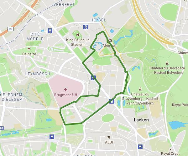
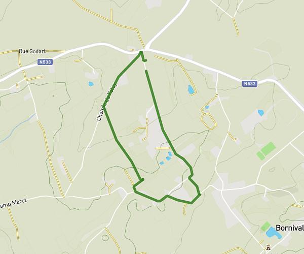
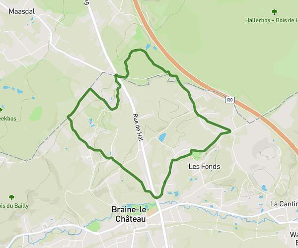
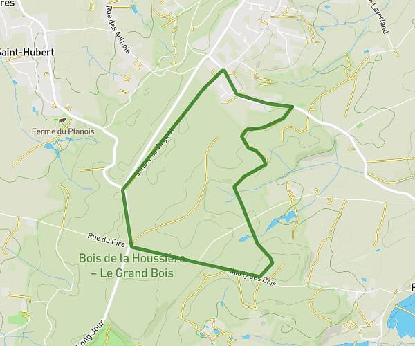
This walking route covers 4.182mi starting from Tubize, Walloon Brabant. The walk is a loop trail and returns to the trailhead. This walk is rated as moderate, plan for about 1h31m to complete it. The route has an elevation gain of 259ft and an elevation loss of 262ft.
autour du canal à Clabecq
Route details
21:45/mi
Pace
372 kcal
Calories burned
Loop trail
Route type
131ft
Min altitude
213ft
Max altitude
Route profile
259ft
Elevation gain
262ft
Elevation loss
131ft
Min altitude
213ft
Max altitude
How to get there
Trailhead: Rue Du Vignoble, 1480 Tubize
GPS coordinates of the trailhead: 50.68123, 4.21423 / 50°40'52'' N, 4°12'51'' E