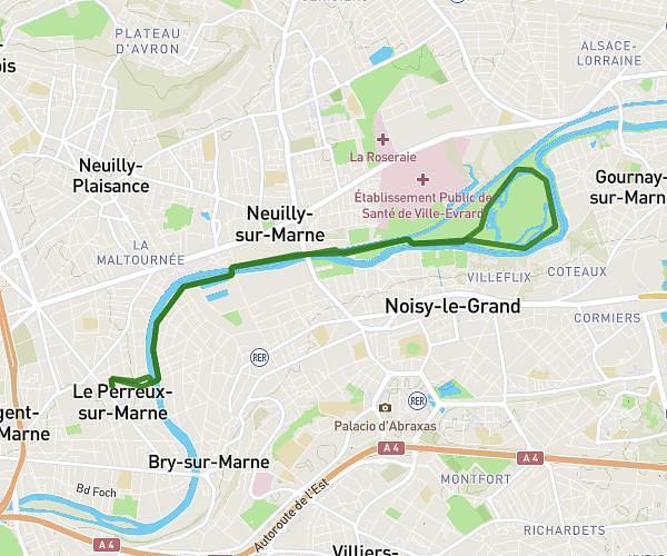
This running route covers 12.978mi starting from Brétigny-sur-Orge, Essonne. The run does not return to the trailhead and ends near 38 Chemin Des Pâtures, 91220 Brétigny-sur-Orge, France. This run is rated as strenuous, expect about 1h40m to complete it. The route has an elevation gain of 354ft and an elevation loss of 436ft.
Entrainement semi
Route details
7.79mph
Speed
1143 kcal
Calories burned
Point to point
Route type
125ft
Min altitude
226ft
Max altitude
Route profile
354ft
Elevation gain
436ft
Elevation loss
125ft
Min altitude
226ft
Max altitude
How to get there
Trailhead: 8 Avenue Pasteur, 91220 Brétigny-sur-Orge, France
GPS coordinates of the trailhead: 48.6074, 2.30505 / 48°36'26'' N, 2°18'18'' E