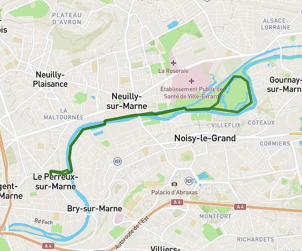
This running route covers 13.438mi starting from Brétigny-sur-Orge, Essonne. The run does not return to the trailhead and ends near 25 Rue De Valorge, 91220 Brétigny-sur-Orge, France. This run is rated as strenuous, expect about 1h32m to complete it. The route has an elevation gain of 20ft and an elevation loss of 16ft.
Entrainement semi 2
Route details
8.76mph
Speed
1052 kcal
Calories burned
Point to point
Route type
131ft
Min altitude
144ft
Max altitude
Route profile
20ft
Elevation gain
16ft
Elevation loss
131ft
Min altitude
144ft
Max altitude
How to get there
Trailhead: 9 Boulevard De La République, 91220 Brétigny-sur-Orge, France
GPS coordinates of the trailhead: 48.60748, 2.30497 / 48°36'26'' N, 2°18'17'' E