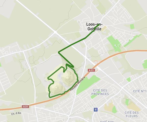
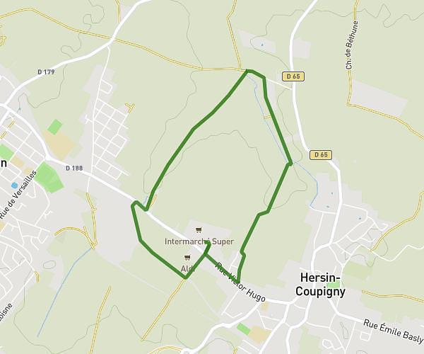
This running route covers 3.244mi starting from Carvin, Pas-de-Calais. The run is a loop trail and returns to the trailhead. This run is rated as easy, expect about 31m56s to complete it. The route has an elevation gain of 26ft and an elevation loss of 20ft.
2nd parc - 1
Route details
6.1mph
Speed
365 kcal
Calories burned
Loop trail
Route type
85ft
Min altitude
112ft
Max altitude
Route profile
26ft
Elevation gain
20ft
Elevation loss
85ft
Min altitude
112ft
Max altitude
How to get there
Trailhead: Rue Charles Baudelaire, 62220 Carvin
GPS coordinates of the trailhead: 50.49305, 2.97499 / 50°29'34'' N, 2°58'29'' E