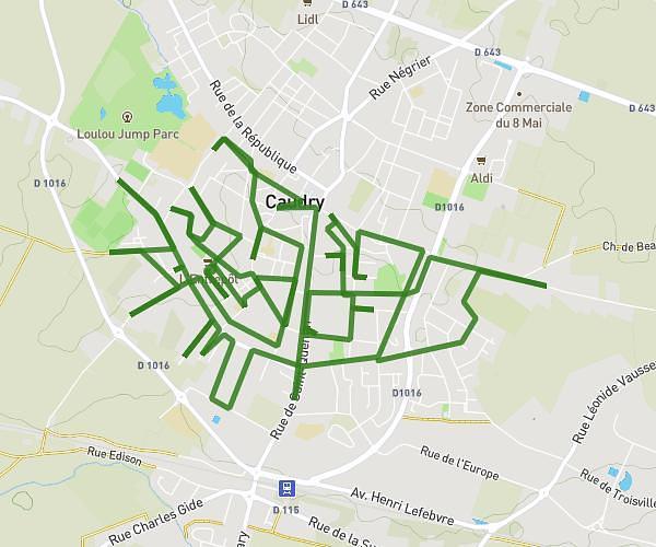
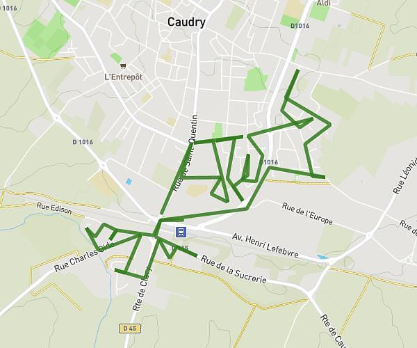
This running route covers 14.368mi starting from Le Quesnoy, Nord. The run is a loop trail and returns to the trailhead. This run is rated as strenuous, expect about 2h34m to complete it. The route has an elevation gain of 643ft and an elevation loss of 643ft.
sortie longue 23km
Route details
5.59mph
Speed
1762 kcal
Calories burned
Loop trail
Route type
371ft
Min altitude
472ft
Max altitude
Route profile
643ft
Elevation gain
643ft
Elevation loss
371ft
Min altitude
472ft
Max altitude
How to get there
Trailhead: 34 Rue Du 11 Novembre 1918, 59530 Le Quesnoy, France
GPS coordinates of the trailhead: 50.254087, 3.63982 / 50°15'14'' N, 3°38'23'' E