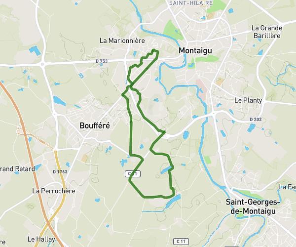
This running route covers 6.986mi starting from Montréverd, Vendée. The run is a loop trail and returns to the trailhead. This run is rated as moderate, expect about 1h15m to complete it. The route has an elevation gain of 171ft and an elevation loss of 171ft.
Decouverte
Route details
5.59mph
Speed
858 kcal
Calories burned
Loop trail
Route type
180ft
Min altitude
223ft
Max altitude
Route profile
171ft
Elevation gain
171ft
Elevation loss
180ft
Min altitude
223ft
Max altitude
How to get there
Trailhead: 1 Chemin De La Trinctière, 85260 Montréverd, France
GPS coordinates of the trailhead: 46.899, -1.48133 / 46°53'56'' N, 1°28'52'' W