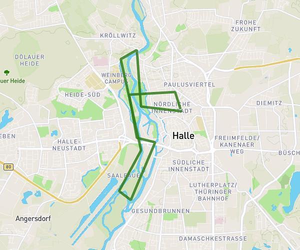
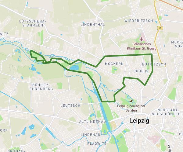
This running route covers 6.915mi starting from Leipzig, Saxony. The run is a loop trail and returns to the trailhead. This run is rated as moderate, expect about 1h3m to complete it. The route has an elevation gain of 26ft and an elevation loss of 26ft.
Leipzig
Route details
6.56mph
Speed
724 kcal
Calories burned
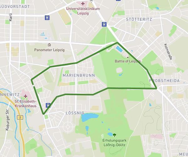
Loop trail
Route type
338ft
Min altitude
364ft
Max altitude
Route profile
26ft
Elevation gain
26ft
Elevation loss
338ft
Min altitude
364ft
Max altitude
How to get there
Trailhead: Aue 51, 04159 Leipzig, Germany
GPS coordinates of the trailhead: 51.371419, 12.293184 / 51°22'17'' N, 12°17'35'' E