MapPlanner
4.308mi
Distance
1h
Duration
4.31mph
Speed
+322ft
Elevation gain
-318ft
Elevation loss
Easy
Level

Parc St Juliette avec siège enfant

Route details

535 kcal
Calories burned
2.8%
Avg grade
Loop trail
Route type
1847ft
Min altitude
2060ft
Max altitude

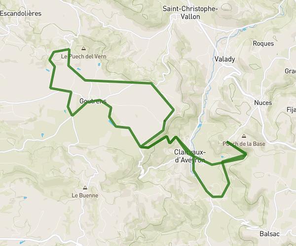
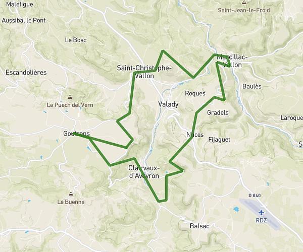
This cycling route covers 4.308mi starting from Calmont, Aveyron. The ride is a loop trail and returns to the trailhead. This route is rated as easy, plan for about 1h to complete it. The route has an elevation gain of 322ft and an elevation loss of 318ft.

Route profile

322ft
Elevation gain
318ft
Elevation loss
1847ft
Min altitude
2060ft
Max altitude

How to get there

Trailhead: Route Des Ponts, 12450 Calmont

GPS coordinates of the trailhead: 44.23937, 2.51752 / 44°14'21'' N, 2°31'3'' E

Caution: May Cross Private Property

This route may pass through or near private property. Always respect posted signs, obtain permission where required, and follow local trespassing laws. MapPlanner does not guarantee public access along any route.

Safety Notice

Trail and road conditions may change without notice due to weather, construction, or other factors. Always verify current conditions before heading out. You are responsible for your own safety — follow local signage, obey traffic laws, and use your best judgment on the trail.