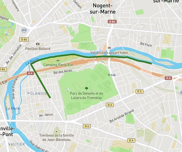
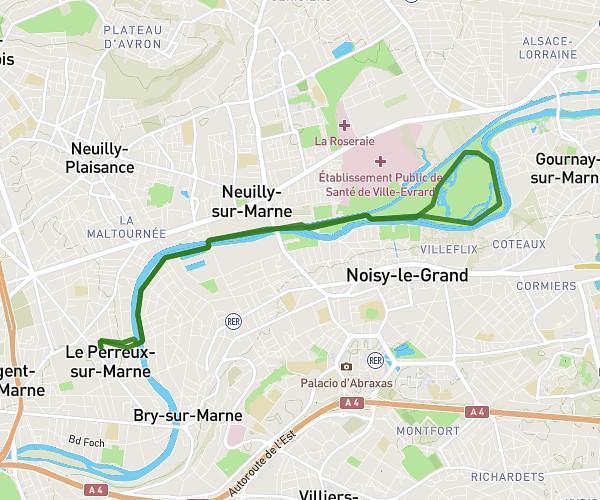
This running route covers 20.682mi starting from Couilly-Pont-aux-Dames, Seine-et-Marne. The run is a loop trail and returns to the trailhead. This run is rated as strenuous, expect about 4h to complete it. The route has an elevation gain of 226ft and an elevation loss of 289ft.
Entraînement 33km en 4h
Route details
5.17mph
Speed
2744 kcal
Calories burned
Loop trail
Route type
154ft
Min altitude
315ft
Max altitude
Route profile
226ft
Elevation gain
289ft
Elevation loss
154ft
Min altitude
315ft
Max altitude
How to get there
Trailhead: 10 Rue Cyprien Borgnon, 77860 Couilly-Pont-aux-Dames, France
GPS coordinates of the trailhead: 48.88402, 2.85803 / 48°53'2'' N, 2°51'28'' E