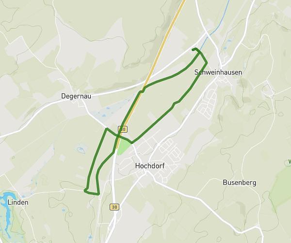
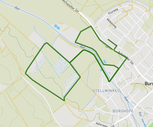
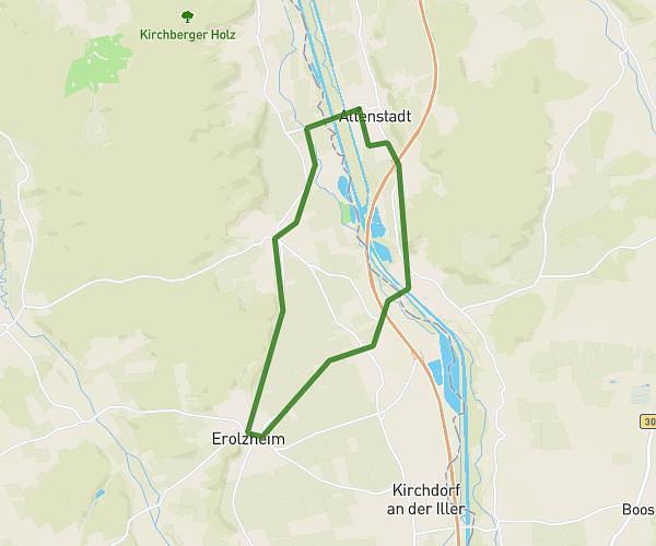
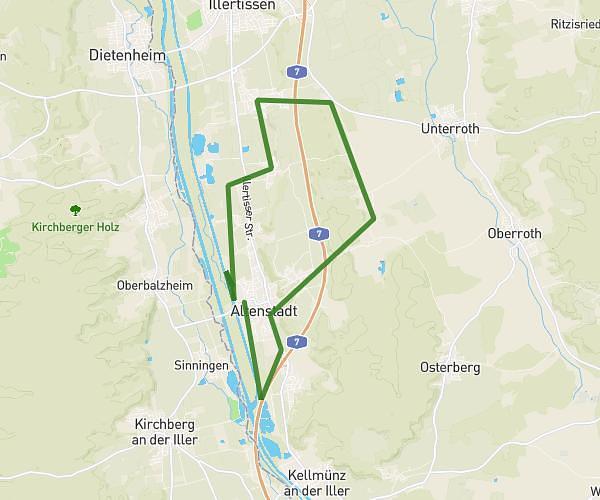
This running route covers 13.104mi starting from Altenstadt, Bavaria. The run does not return to the trailhead and ends near Fabrikstraße 9, 89281 Altenstadt, Germany. This run is rated as strenuous, expect about 9s to complete it. The route has an elevation gain of 541ft and an elevation loss of 561ft.
Lauf
Route details
5241.64mph
Speed
2 kcal
Calories burned
Point to point
Route type
1693ft
Min altitude
1969ft
Max altitude
Route profile
541ft
Elevation gain
561ft
Elevation loss
1693ft
Min altitude
1969ft
Max altitude
How to get there
Trailhead: Unterer Griesweg 1, 89281 Altenstadt, Germany
GPS coordinates of the trailhead: 48.163147, 10.102906 / 48°9'47'' N, 10°6'10'' E