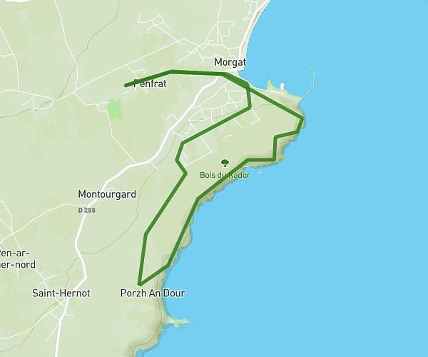
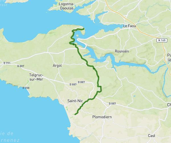
Explore this hiking route of 11.16km starting from Dirinon, Finistère. The hike is a loop and returns to the starting point. This hike has no defined difficulty level, plan for about 3h31m to complete it. The route has a positive elevation gain of 149m and a negative elevation loss of 149m.
landrevezen daoulas
Route details
Route profile
149m
Elevation +
149m
Elevation -
0m
Min altitude
41m
Max altitude
How to get there
Route starting point: C 5, 29460 Dirinon
GPS coordinates of the starting point: 48.35636, -4.29821 / 48°21'22'' N, 4°17'53'' W
Calculate the time to reach the starting point from your location or an address