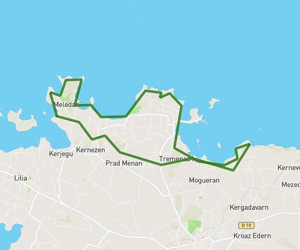
Explore this hiking route of 15.83km starting from Landunvez, Finistère. The hike is a loop and returns to the starting point. This hike has no defined difficulty level, plan for about 4h54m to complete it. The route has a positive elevation gain of 153m and a negative elevation loss of 154m.
penfoul
Route details
Route profile
153m
Elevation +
154m
Elevation -
5m
Min altitude
31m
Max altitude
How to get there
Route starting point: D 27, 29840 Landunvez
GPS coordinates of the starting point: 48.52878, -4.74662 / 48°31'43'' N, 4°44'47'' W
Calculate the time to reach the starting point from your location or an address