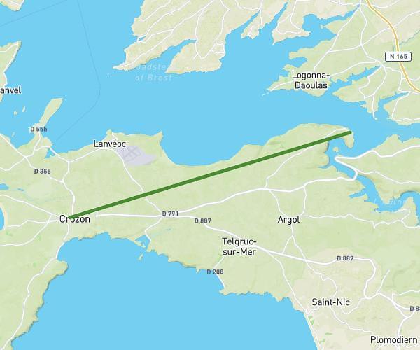
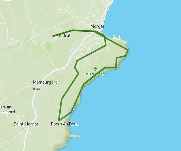
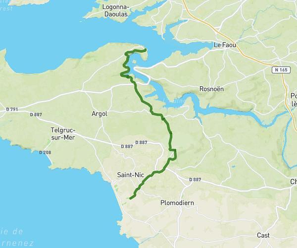
Explore this hiking route of 18.83km starting from Plougastel-Daoulas, Finistère. The hike is a loop and returns to the starting point. This hike has no defined difficulty level, plan for about 4h27m to complete it. The route has a positive elevation gain of 554m and a negative elevation loss of 554m.
Penn ar stêr plougastel daoulas
Route details
Route profile
554m
Elevation +
554m
Elevation -
-15m
Min altitude
60m
Max altitude
How to get there
Route starting point: Penn Ar Stêr, 29470 Plougastel-Daoulas
GPS coordinates of the starting point: 48.34169, -4.39046 / 48°20'30'' N, 4°23'25'' W
Calculate the time to reach the starting point from your location or an address