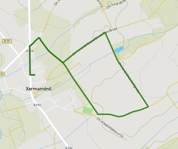
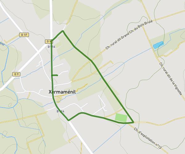
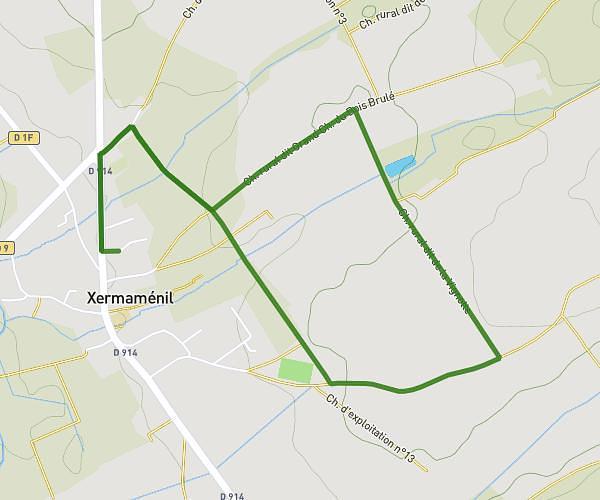
This running route covers 8.272mi starting from Tomblaine, Meurthe-et-Moselle. The run does not return to the trailhead and ends near 2 Allée Des Tonneliers, 54850 Messein, France. This run is rated as hard, expect about 1h29m to complete it. The route has an elevation gain of 243ft and an elevation loss of 98ft.
Tomblaine
Route details
5.57mph
Speed
1018 kcal
Calories burned
Point to point
Route type
627ft
Min altitude
869ft
Max altitude
Route profile
243ft
Elevation gain
98ft
Elevation loss
627ft
Min altitude
869ft
Max altitude
How to get there
Trailhead: 35 Rue Voltaire, 54510 Tomblaine, France
GPS coordinates of the trailhead: 48.691528, 6.213355 / 48°41'29'' N, 6°12'48'' E