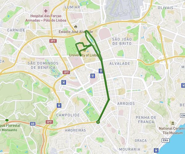
This running route covers 6.577mi starting from Lisboa, Lisbon. The run is a loop trail and returns to the trailhead. This run is rated as moderate, expect about 1h11m to complete it. The route has an elevation gain of 16ft and an elevation loss of 115ft.
Corrida Sao Silvestre
Route details
5.56mph
Speed
812 kcal
Calories burned
Loop trail
Route type
187ft
Min altitude
285ft
Max altitude
Route profile
16ft
Elevation gain
115ft
Elevation loss
187ft
Min altitude
285ft
Max altitude
How to get there
Trailhead: Praça Duque De Saldanha 14-15, 1000-091 Lisboa, Lisbon, Portugal
GPS coordinates of the trailhead: 38.733849, -9.144672 / 38°44'1'' N, 9°8'40'' W