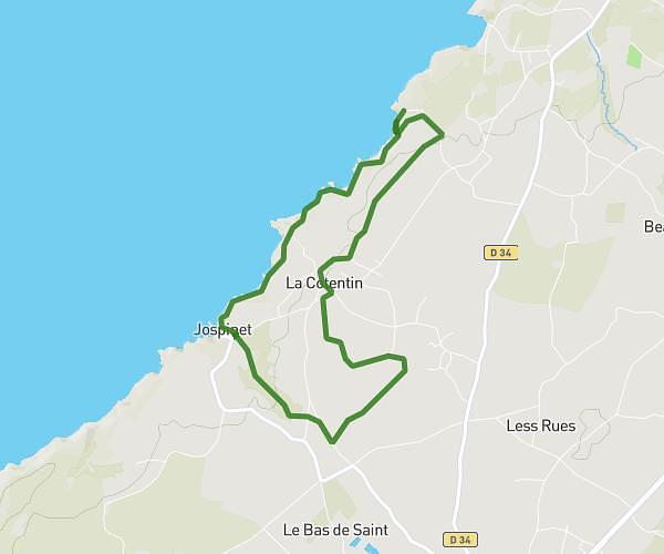
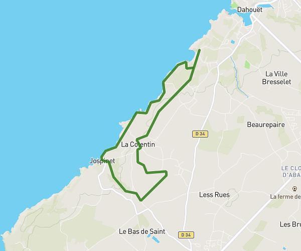
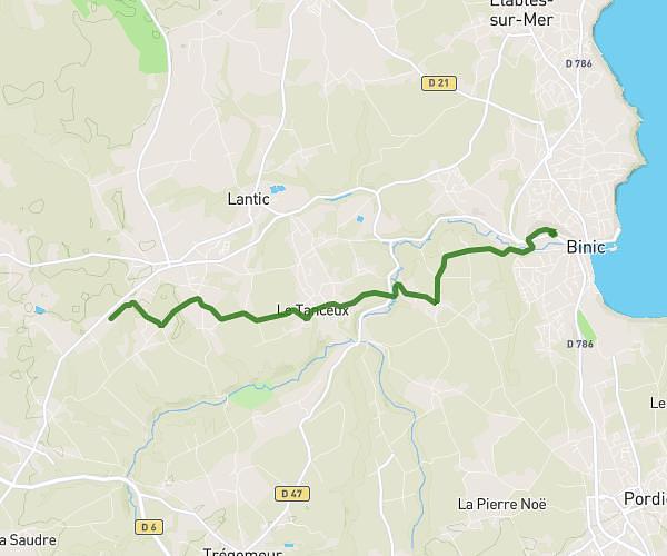
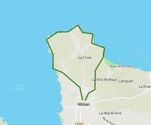
This running route covers 5.579mi starting from Pléneuf-Val-André, Côtes-d'Armor. The run is a loop trail and returns to the trailhead. This run is rated as moderate, expect about 53m52s to complete it. The route has an elevation gain of 669ft and an elevation loss of 673ft.
Pleneuf V1-9KM
Route details
6.21mph
Speed
616 kcal
Calories burned
Loop trail
Route type
0ft
Min altitude
82ft
Max altitude
Route profile
669ft
Elevation gain
673ft
Elevation loss
0ft
Min altitude
82ft
Max altitude
How to get there
Trailhead: Rue De Lamballe, 22370 Pléneuf-Val-André
GPS coordinates of the trailhead: 48.58267, -2.55993 / 48°34'57'' N, 2°33'35'' W